Wildlife & habitat surveys
Habitat surveys: we conducted field surveys to characterise the vegetation structure of all woodland patches. We have information on tree species richness, tree density and tree size (diameter at breast height), understory cover, canopy cover and the degree of vegetative “clutter” up to 5 m in height. We also have information on the area and shape of each woodland, as well as the proportion of woodland edge adjacent broad land cover types.
Surrounding landscape: we used GIS software to create buffers of different sizes (100 – 3000m) around each of the woodland patches. Within each buffer category we measured the inter-patch connectivity (an indicator taking into account distance between habitat patches weighted by their area; modified from Watts & Handley 2010) and proportion of land covered by a range of woodland types. We also measured the distance to nearest woodland of each category. In addition, we quantified the proportion of land covered by agricultural areas, semi-natural habitats, urban areas and water bodies in the matrix surrounding each woodland patch within each buffer size.
Wildlife: key species groups for survey were identified through a literature review (Humphrey et al. 2015), reflecting the range of habitat specificity, dispersal abilities, matrix (non-wooded habitat) sensitivity and other network-related traits of woodland-dependent species. To date we have surveyed for vascular plants, ground beetles and spiders, flying insects, small terrestrial mammals, bats, birds, and lower plants (lichens and bryophytes).
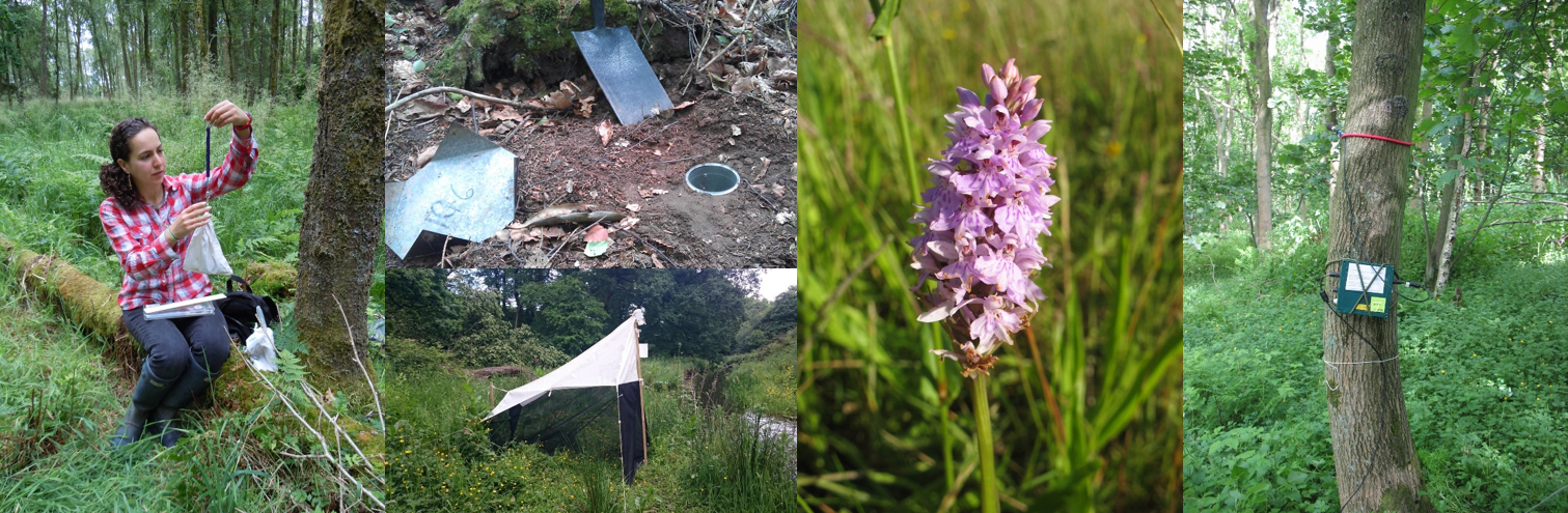
Surveying plant and animals in WrEN sites